Tectonic plates have shaped the UAE’s unique landscape. These massive, slow-moving pieces of Earth’s crust impact the region’s geology. What forces drive the UAE plate movements, creating its distinctive features?
The UAE sits on the Arabian Plate, interacting with the Eurasian Plate. This interaction has led to fascinating geological formations. Did you know that the Hajar Mountains, stretching across the eastern UAE, were formed by tectonic forces millions of years ago?
Plate Tectonics and UAE’s Geological Framework
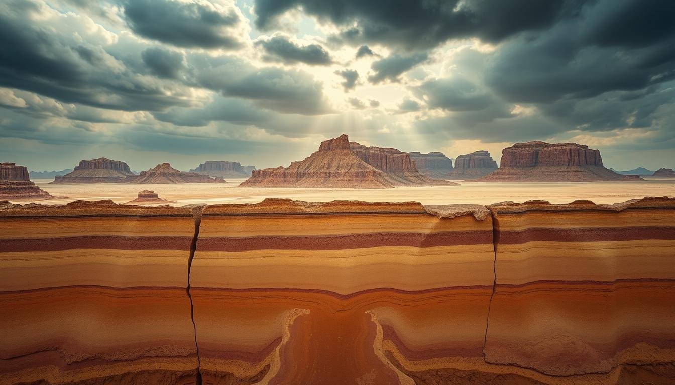
Tectonic Influences on UAEs Geology The United Arab Emirates (UAE) is on a fascinating geological canvas. Plate tectonics has shaped its landscape over millions of years. Let’s explore how these forces have made the UAE’s unique geological makeup.
Basic Principles of Plate Tectonics
Plate tectonics is the dance of Earth’s rocky outer shell. Huge plates move, collide, and separate. This causes earthquakes, volcanoes, and mountain formation.
UAE’s Position on the Arabian Plate
The UAE is on the northeastern edge of the Arabian Plate. This spot is key to its geological story. The UAE’s topography and landscape are shaped by its interactions with other plates.
Regional Tectonic Setting of the Emirates
The UAE’s tectonic setting is dynamic. The Arabian Plate’s collision with the Eurasian Plate has had big impacts. This has formed the Zagros Mountains and affects seismic activity.
| Tectonic Feature | Impact on UAE |
|---|---|
| Arabian-Eurasian Plate Collision | Formation of Zagros Mountains |
| Makran Subduction Zone | Seismic activity in northern Emirates |
| Gulf of Oman Spreading | Ophiolite formation in Hajar Mountains |
Understanding these tectonic influences helps us see the UAE’s unique features. From sandy deserts to rugged mountains, each landscape tells a story of plate movements and geological forces.
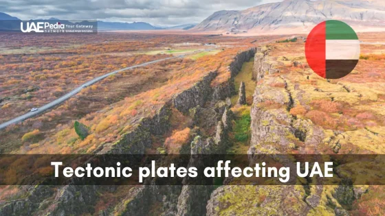
Tectonic Plates Affecting UAE
The UAE’s land is shaped by the Arabian Plate. This plate is key to the UAE’s tectonic activity. Knowing about these interactions helps us understand the UAE’s geological past and present.
Arabian and Eurasian Plate Interactions
The Arabian and Eurasian plates collide at a rate of 2.5 centimeters per year. This is like the North American and Eurasian plates splitting apart. These plates create forces that shape the UAE’s landscape.
Zagros Mountains Formation Impact
The Zagros Mountains formed because of UAE plate boundary effects. This range stretches from Turkey to Iran. It affects the UAE’s topography and causes earthquakes.
Makran Subduction Zone Influence
The Makran Subduction Zone is where the Arabian Plate goes under the Eurasian Plate. It’s in the Arabian Sea. This zone adds to the UAE’s earthquakes and has shaped its coastlines over millions of years.
| Tectonic Feature | Impact on UAE | Rate of Movement |
|---|---|---|
| Arabian-Eurasian Collision | Landscape formation, seismic activity | ~2.5 cm/year |
| Zagros Mountains | Topography, weather patterns | Ongoing uplift |
| Makran Subduction Zone | Coastal shaping, seismic influence | Variable subduction rate |
Historical Evolution of UAE’s Geological Landscape
The United Arab Emirates has a rich geological history. It was shaped by tectonic forces over millions of years. Its unique geography and topography show its place on the Arabian Peninsula.
Formation of the Arabian Gulf Basin
The Persian Gulf, near the UAE, was formed by plate movements and sediment. It happened when the Arabian Plate split from Africa. This created a depression that became a shallow sea.
Rivers then brought in sediments, shaping the basin we see today.
Tectonic Events Shaping UAE Topography
Tectonic activities shaped the Emirates’ diverse landscape. The collision between the Arabian and Eurasian plates made the Hajar Mountains. These mountains run along the eastern coast.
They stand out against the flat desert plains that cover much of the country.
Ophiolite Complex Development
The Ophiolite Complex is a remarkable feature in the UAE. It was formed when oceanic crust was pushed onto the continental margin. This happened when an ancient ocean closed.
This pushed deep-sea rocks to the surface. Now, we see reddish-brown mountains in parts of the Emirates.
These geological processes shaped the UAE’s landscape and its natural resources. They include oil and gas, which have driven the country’s growth. Knowing this history helps us understand the UAE’s geography and future environmental challenges.
Modern Tectonic Activity and Seismic Implications
The UAE’s landscape changes due to tectonic movements. This affects the UAE’s seismic activity. Even though it’s not very active, earthquakes do happen, especially in the north near the Zagros fold belt. This shows why monitoring tectonic activity is key to prepare for geological dangers.
Earthquake risk in the UAE varies. Maps show where the Arabian and Eurasian plates meet. This activity shapes the UAE’s landscape and affects its stability.
Monitoring systems are set up to track earthquakes. They give important data for planning and safety. This data helps make buildings safer and prepares for emergencies.
- UAE experiences low to moderate seismic activity
- Northern emirates face higher earthquake risks
- Tectonic monitoring systems are crucial for safety
- Seismic data informs urban development strategies
As the UAE grows, knowing and reducing seismic risks is vital. By using new monitoring tech and working with global groups, the UAE wants to be ready for earthquakes. This will help protect its fast-growing cities.
Conclusion
The UAE’s landscape shows the strong tectonic forces that have shaped it for millions of years. The Arabian Gulf Basin and the Ophiolite Complex are key examples. These show how plate tectonics have made the Emirates’ unique shape.
Looking ahead, research is key to understanding the UAE’s geology. Scientists use new tech to study earthquakes and predict dangers. This helps us understand the Earth and plan for the future.
Studying the UAE’s tectonics is important for many reasons. It helps in planning cities and preparing for disasters. Knowing what’s happening under our feet helps keep people safe. As research grows, we’ll learn more about this amazing place.
