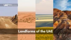
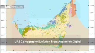
What lies beneath the UAE’s stunning landscapes? Geological surveys play a big role in the nation’s growth. They help find valuable minerals and spot potential dangers.
These surveys guide urban planners and resource managers. They are key in many UAE industries. For example, Singapore’s land reclamation is made possible by these surveys.
Overview of UAE’s Geological Landscape
The United Arab Emirates has a diverse landscape. It’s a Gulf country on the Arabian Peninsula. It’s full of natural wonders.
Geographical Features and Formations
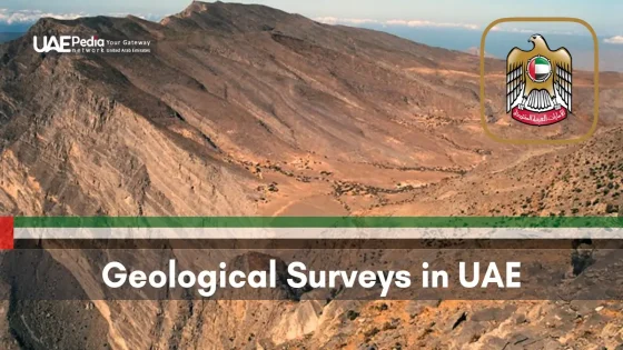
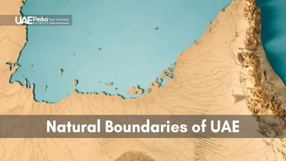
The UAE’s terrain goes from coast to rugged mountains. It has 700 kilometers of coastline by the Arabian Gulf and 70 kilometers by the Gulf of Oman. Jebel Jais, at 1,934 meters, is a highlight with cooler temperatures and special plants and animals.
Historical Development of Survey Programs
The UAE has worked hard to learn about its geology. They’ve found out how the country was formed. This includes the movement of ophiolite rocks onto the Arabian Plate 90 million years ago.
Significance in Regional Development
Knowing the UAE’s geology is key for growth. It helps with planning cities, managing resources, and saving nature. The country has 43 nature reserves, covering 14% of its land. This shows how important geology is for saving life on Earth.
| Feature | Data |
|---|---|
| Nature Reserves | 43 (14% of land) |
| Coastline | 770 km total |
| Wetlands of International Importance | 10 sites (39,166 hectares) |
| Highest Peak (Jebel Jais) | 1,934 meters |
The UAE’s geological surveys keep finding new things. They help with development and tourism across the Peninsula. From the sea to the mountains, the Emirates’ landscape tells a story of millions of years.
Geological Surveys in UAE: Methods and Technologies
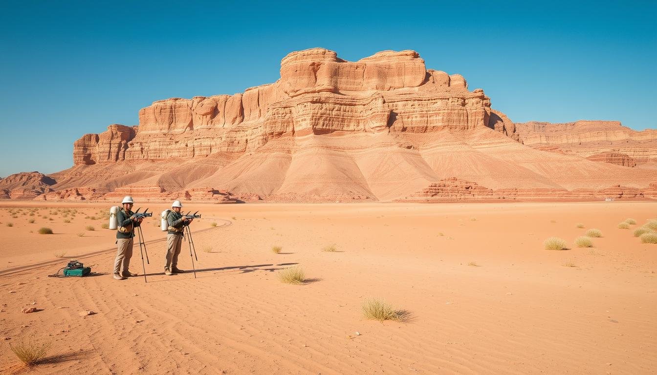
The UAE’s landscape is unique and demands advanced survey methods. Geological mapping projects use the latest techniques to find hidden treasures. These surveys help shape the nation’s future, from cities to deserts.
Advanced Seismic Exploration Techniques
UAE survey methods have changed a lot. Seismic exploration now gives deep Insights into the ground. It helps find resources, guiding development in the Emirates.
Electromagnetic and Gravity Surveys
Electromagnetic and gravity surveys are key in UAE research. They show soil conductivity and density changes. This info is crucial for building and managing resources.
3D Mapping and Digital Integration
3D mapping has changed UAE mapping projects. Digital tools help collect and analyze data better. This supports smart decisions in many areas.
| Survey Type | Application | Benefits |
|---|---|---|
| Bathymetric | Seabed mapping | Navigation safety, hazard identification |
| Geophysical | Subsurface imaging | Fault line and sediment layer detection |
| Environmental Impact | Ecosystem assessment | Protection of marine habitats |
Companies like Engineering Research International (ERI) and Spectra Geotechnologies lead these efforts. They face challenges like loose sands and high water levels. Their work includes rail, refineries, and airports, ensuring safe and efficient growth.
Applications in Urban Development and Planning
UAE geological data is key in shaping the nation’s cities. With the UAE’s city population set to hit 91% by 2050, it’s more important than ever. Geological checks are vital for green growth.
Site Suitability Assessment
Geological surveys help figure out if a site is good for building. They guide where to build and how to plan land. This makes sure new places are safe and use resources well.
Infrastructure Development Support
Geological reports help with building roads and utilities. This info is crucial for the UAE’s big investments in city infrastructure. Billions of dollars are spent every year.
Risk Mitigation Strategies
Using UAE geological data is key for safety plans. These plans spot dangers like sinkholes. They make cities safer and more resilient.
| Urban Development Aspect | Role of Geological Data | Impact |
|---|---|---|
| Site Suitability | Assess ground stability | Optimal land use planning |
| Infrastructure | Guide construction projects | Improved longevity of structures |
| Risk Mitigation | Identify potential hazards | Enhanced urban safety |
The use of geological data in city planning is clear. For example, 1Map, the UAE’s national geospatial platform, offers insights. It helps make smart choices in city growth.
Resource Management and Environmental Impact
Geological surveys in the UAE are key for managing resources and protecting the environment. They offer important data for sustainable practices in the Emirates. The UAE’s location on the Arabian Peninsula, near the Persian Gulf, makes this data crucial for development and conservation.
In the UAE, geophysical testing is now a big part of construction and conservation. This shows a move towards more sustainable urban growth in the area. The global market for environmental geophysical testing is set to hit $4.3 billion by 2025. UAE companies are playing a bigger role in global conservation efforts.
The Energy, Water and Sustainable Environment Research Center (EWSERC) in the UAE works on big global challenges. They support plans like UAE Net Zero 2050 and the National Water and Energy Demand Management Program.
| Research Theme | Focus Area | Relevance to UAE |
|---|---|---|
| Renewable Energy and Smart Grid | Sustainable energy systems | Aligns with UAE’s environmental sustainability goals |
| Energy Harvesting, Conversion, and Storage | Efficiency of solar cells, batteries, and fuel cells | Supports UAE’s clean energy initiatives |
| Water Quality and Treatment | Addressing water resource challenges | Tackles issues related to rapid development in UAE |
| Water Supply, Security, and Sustainability | Securing safe water sources | Enhances UAE’s water management strategies |
These research efforts show the UAE’s dedication to using resources wisely while protecting the environment. By using geological data and advanced research, the UAE is leading the way for sustainable growth in the region.
Current Projects and Future Developments
The UAE is leading in geological research with new projects. These projects are changing how we survey the earth. They are also boosting the economy.
ADNOC’s High-Density Seismic Survey Initiative
ADNOC started a big 3D seismic survey project. It covers 85,000 square kilometers in Abu Dhabi. This project is worth $490 million and was given to BGP.
International Collaborations and Partnerships
ADNOC and BGP are working together. They use AI to understand geological data better. This makes their work faster and more accurate.
Technological Advancements in Survey Methods
AI is changing how we look at seismic data. It makes the work more efficient. It also helps use resources better in ADNOC’s fields.
| Project Aspect | Details |
|---|---|
| Contract Value | $490 million |
| Survey Area | 85,000 square kilometers |
| Economic Impact | Over 70% flowing back into UAE economy |
| Key Technology | AI-driven data interpretation |
The UAE is focused on using surveys for sustainable growth. It combines local skills with global partnerships. This sets new standards in survey data analysis and research.
Conclusion
Geological surveys in the UAE are very important. They have shown us a lot about the area’s history, going back over 125,000 years. We’ve learned about ancient human settlements and how they changed over time.
These surveys have found amazing sites like the Jebel Hafit tombs near Al Ain City. They also found the Mleiha Archaeological Centre. These places show how smart and skilled the early people were.
They built complex buildings and created advanced water systems like the aflaj network. This shows their great skills.
The UAE was also a key place for metalwork in ancient times, known as Magan. This shows the UAE’s big role in trade and technology. As we move forward, more surveys will help us plan cities, manage resources, and keep the UAE’s culture alive.
